Ammon News - The Jafr area recorded 15.8 millimeters of rainfall over the past 72 hours, the highest amount in Jordan, followed by Qatraneh with 6 mm, Tafileh with 5.5 mm, Aqaba with 2.6 mm, and Shobak with 0.8 mm, according to Tareq Al-Shar’an, a weather forecaster at the Jordan Meteorological Department (JMD).
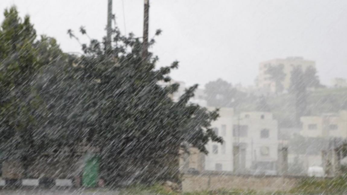
Speaking to Al-Mamlaka TV on Sunday, Al-Shar’an said Jordan had been affected by unstable weather conditions for three days due to a Red Sea low-pressure system, bringing heavy rainfall accompanied by lightning and thunder to parts of the southern and eastern regions.
Rainfall is expected to resume and intensify on Sunday afternoon, particularly across the southern, eastern and southeastern regions. Heavy showers may occur over short periods, with possible hail, while flash floods are a risk in valleys and low-lying areas, he warned.
He noted that limited areas in northern Jordan could experience light showers, while southeasterly winds are expected to become active at intervals. Strong gusts may stir up dust in the Badia regions, reducing horizontal visibility, particularly in Ruwaished, Safawi and eastern areas.
Al-Shar’an urged drivers to exercise caution on highways and avoid valleys and low-lying areas due to the risk of flash floods.
Unstable weather conditions are expected to continue on Monday, with scattered showers forecast in parts of southern and eastern Jordan. Rainfall could be heavy at times during the afternoon, accompanied by thunder, lightning and hail, and may extend to parts of the east-central regions. Light evening showers are also possible in parts of northern Jordan.



 comment replay













 الرجاء الانتظار ...